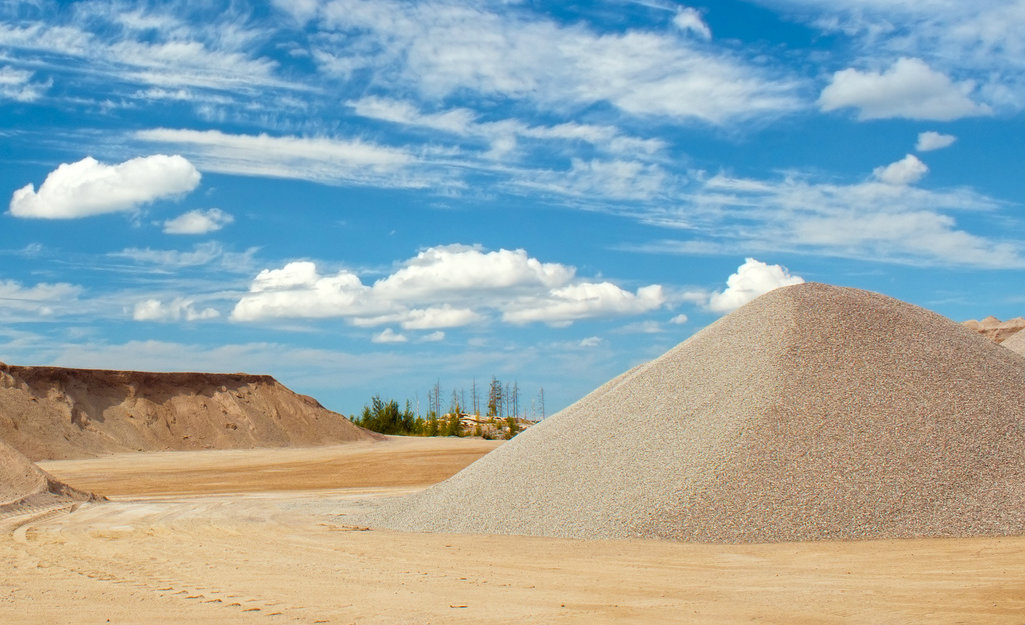
Aggregate materials—like sand, gravel, crushed stone, slag, and recycled concrete—provide bulk and strength to concrete or asphalt. Large aggregate quarries and sand and gravel pits are located around most populated areas because of the high cost of transporting aggregate. (In fact, the cost of transportation from the mine to the consumer may even be higher than the actual cost of the aggregate.)
There are many different types of aggregate materials found in various geographic locations:
- Alluvial deposits are clay, sand and gravel beds deposited by flowing water. These deposits are typically found in floodplains and river deltas—so if you’re in that kind of an area, you’re likely to find sand and gravel.
- Glaciofluvial deposits were originally moved by glaciers and then sorted by running water. An example of glaciofluvial deposits are eskers, which are ridges of glacial debris, soil, and rock deposited in subglacial tunnels, that are sometimes hundreds of kilometers long.
- Industrial minerals are not strictly aggregate materials, but are deposited horizontally (like aggregate materials) and are thus mined in a similar way. Industrial mineral exploration helps to uncover materials like:
- Kaolin (used to make porcelain or to coat paper).
- Perlite (used as a filler for concrete).
- Pumice (used as an abrasive and a polishing agent).
- Gypsum (used in drywall and in many other applications).
- Bentonite (used for drilling mud, in foundries as a bond for sand molds) .
Estimating Aggregate Volume Using Geotechnical Techniques
Locating aggregate deposits is often done by core sampling and excavating. Core sampling is used to survey the thickness of the sand and gravel beds (providing an estimate of aggregate volume) and the thickness of the overburden, which is the vegetation and topsoil covering the aggregate beds. Since the price of the aggregate is relatively low, it is critical that the cost of removing the overburden is not too high. Therefore, core sampling is performed to find the thickness of the overburden, which will affect the cost of removal. Other factors—like time consumption, machinery and operator costs, and analysis following the sample—can also drive the price up.
While core sampling gives you an idea of where to mine for aggregate materials, it doesn’t allow you to see what may be in the area around the core samples. For example, if you drill two core samples and the overburden is too thick on each, you’ll have to continue drilling more core samples in an effort to continue searching for a suitable location.
Electrical resistivity imaging can help drive down these potentially wasteful costs. By producing a vertical cross-section of the earth along electrical resistivity imaging profiles, depth-to-bedrock and the thickness of sand, gravel, and clay layers can all be determined to direct core drilling to the most critical areas.
Do you need to image for aggregate materials?
If you need to conduct an electrical resistivity test, AGI’s imaging system is an effective way to indicate resistivity value and estimate aggregate volume.
Advanced Geosciences Inc. (AGI) is the leading developer and manufacturer of geophysical imaging systems. Since 1989, we’ve been producing state-of-the-art electrical resistivity meters and products for induced polarization (IP) imaging. If you conduct your electrical resistivity survey using an AGI imaging system, our staff will be there to help you from start to finish with free technical support.
Ready to discuss your project?